 |
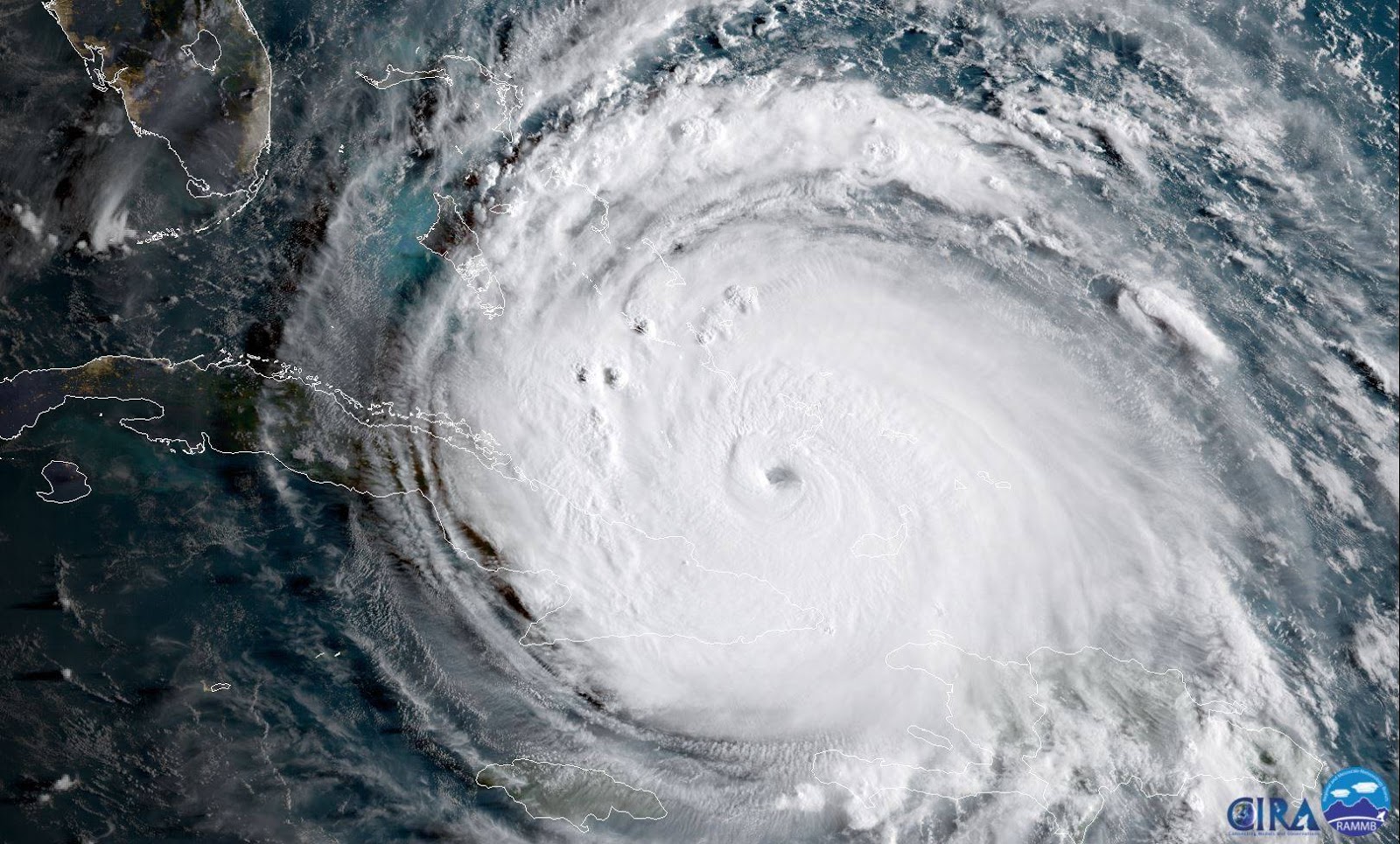
| “The NOAA-NASA satellite GOES-16 captured this geocolor image of Hurricane Irma passing the eastern end of Cuba at about 8:00 a.m. EDT on Sept. 8, 2017… Please note: GOES-16 data are currently experimental and undergoing testing and hence should not be used operationally.” Entire NOAA caption can be viewed at this link. Image Credit: NOAA/NASA |
7:40 p.m. Sept. 9: We are currently in Largo, Florida, having evacuated from our home in Saint Petersburg, waiting for what is being anticipated as the worst weather event in the Tampa Bay area since 1960’s Hurricane Donna. As of 7:30 p.m. EDT, the track has the storm making its way through Tampa Bay in the early hours of Monday, Sept. 10 as a Category 3 hurricane. We are in a non-evacuation zone with plenty of food, sodas, water, and snacks, plus we have our cat, Felix, here by us, so we’re about as safe as we will be given the situation. Still very nerve-wracking, nobody here is sure what they’ll endure or find at homes once the evacuation orders lift. I figured I’d deal with my nerves by trying to document the storm as much as I can.
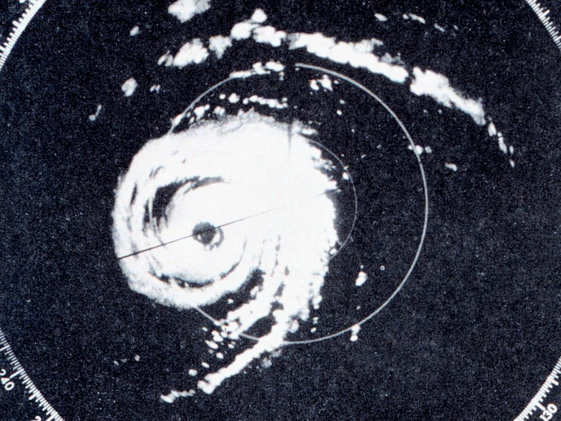 |
| Radar image of Hurricane Donna over the Florida Keys, 1960. Retrieved from http://www.whyy.org/tv12/franklinfacts/sep1200ff.html (Original source: NOAA) |
So far, we are getting tropical storm-like conditions, and we are safe. For meteorological updates, I suggest checking out Denis Phillips’ page on Facebook (http://www.facebook.com/denisphillipswfts/).
Please stay with This Space Available for further updates; if updates cease we may have suffered a power or Wi-Fi outage, so please be patient. Thank you.
Emily Carney is a writer, space enthusiast, and creator of the This Space Available space blog, published since 2010. In January 2019, Emily’s This Space Available blog was incorporated into the National Space Society’s blog. The content of Emily’s blog can be accessed via the This Space Available blog category.
Note: The views expressed in This Space Available are those of the author and should not be considered as representing the positions or views of the National Space Society.